")
")


Geographical position
Latitude- 32º 38’4’’ N
Longitude-16º 54’7’’ W
Summer time - GMT+1
Winter time – GMT
Temperatures (averages)
Air : 25ºC Summer / 19ºC Winter
Sea: 22ºC Summer / 18ºC Winter
Rainstorm: 5% Summer / 75% Winter
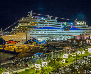
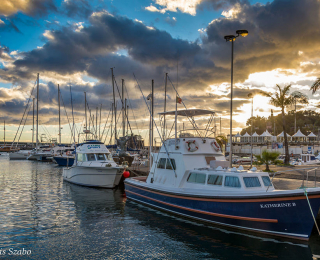
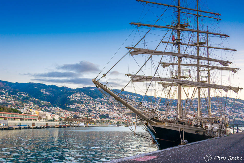
Port structure
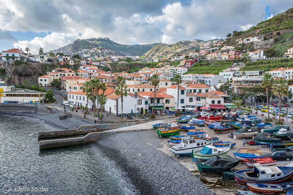
The Port of Funchal is divided into two Terminals, North and South.
North Terminal
Pier nº 6 - 260 meters of pier / - 8.00 meters of draft / Pier Height 4.10 meters (Chart Datum)
South Terminal
Pier nº 2 - 425 meters of pier / - 9.00 meters of draft / Pier Height 5.10 meters (Chart Datum)
Pier nº3 - 347 meters of pier / - 10.00 meters of draft / Pier Height 5.10 meters (Chart Datum)
Tugs availability
Three tugs with 1875 hp / 1671 hp / 730 hp respectively
Fresh water
Drinking water is supplied through pipes on the pier. Each connection (up to two hoses per ship) has the capacity to supply up to a maximum of 40 tons of water per hour.
Bunkering
The authorized supplier arranges HFO and AGO to ships alongside, through pipeline or by truck. Fuel prices vary according to values practiced on the international market, more information can be obtained directly from Repsol or Galp.
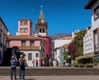
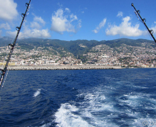
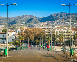
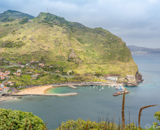
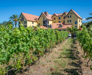
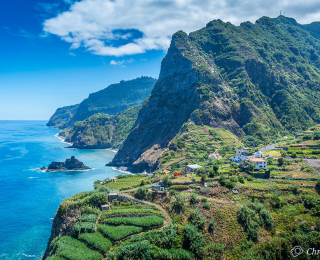
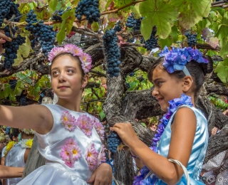
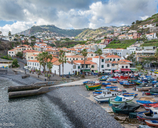
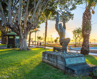
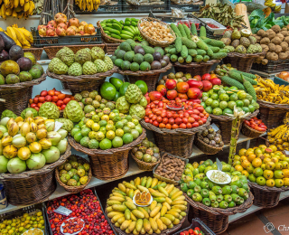
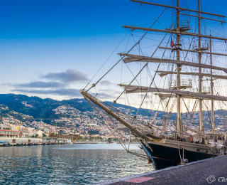
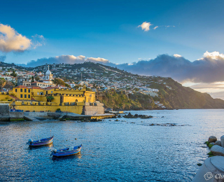
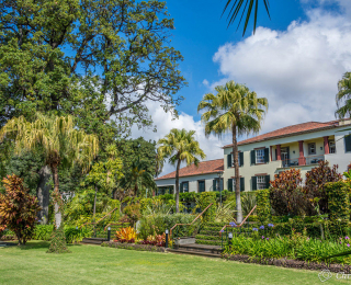
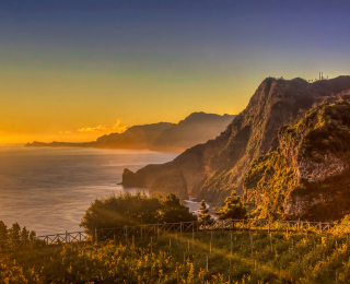
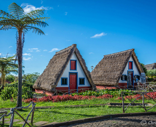
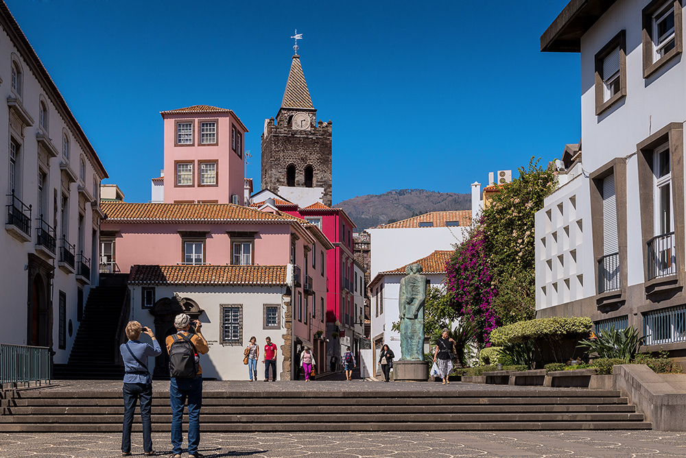
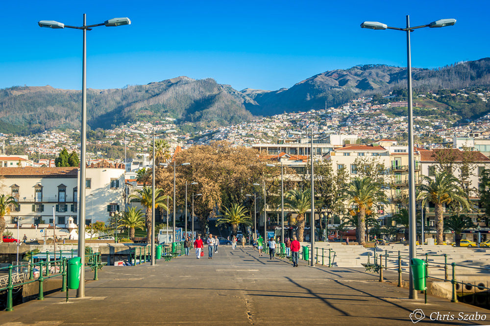
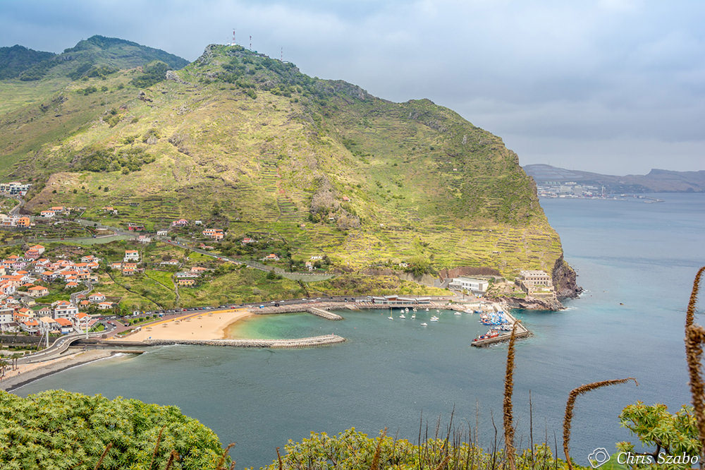
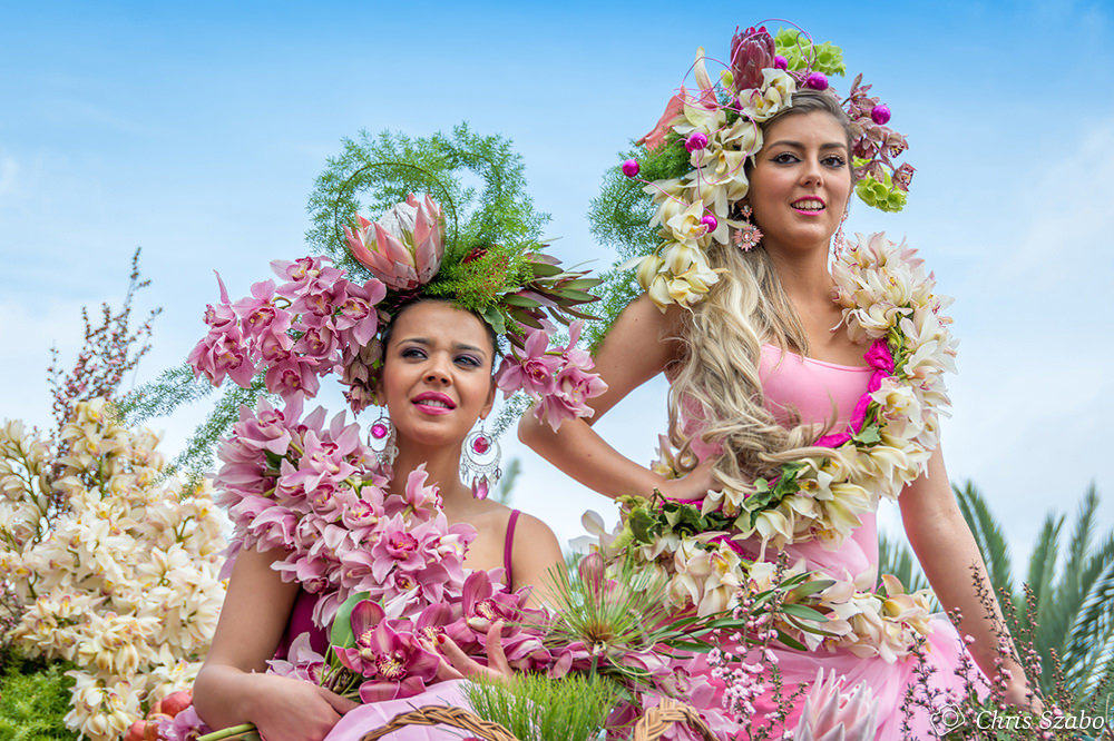
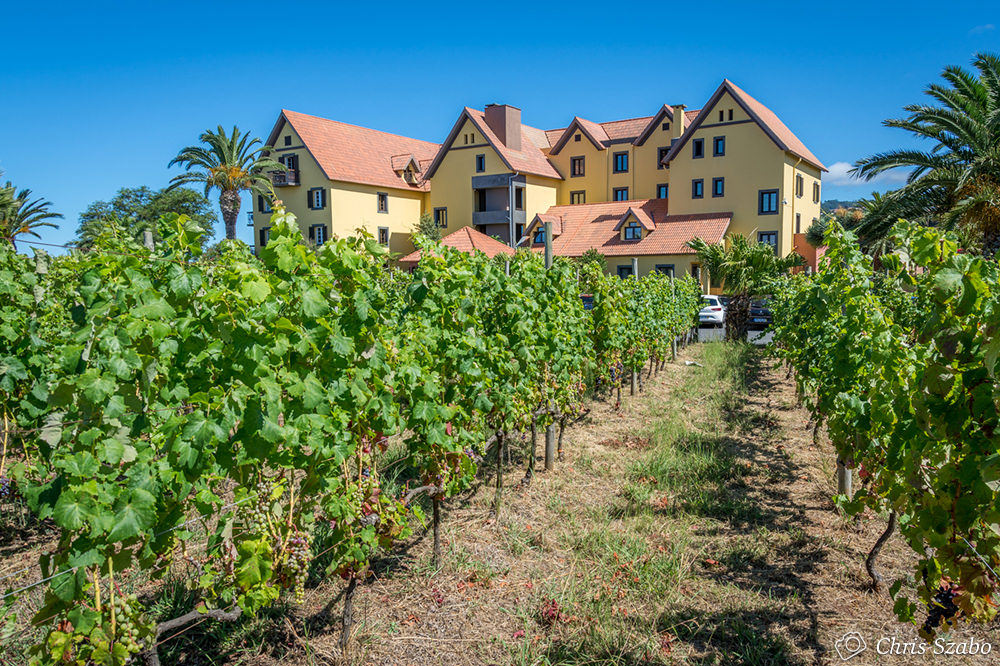
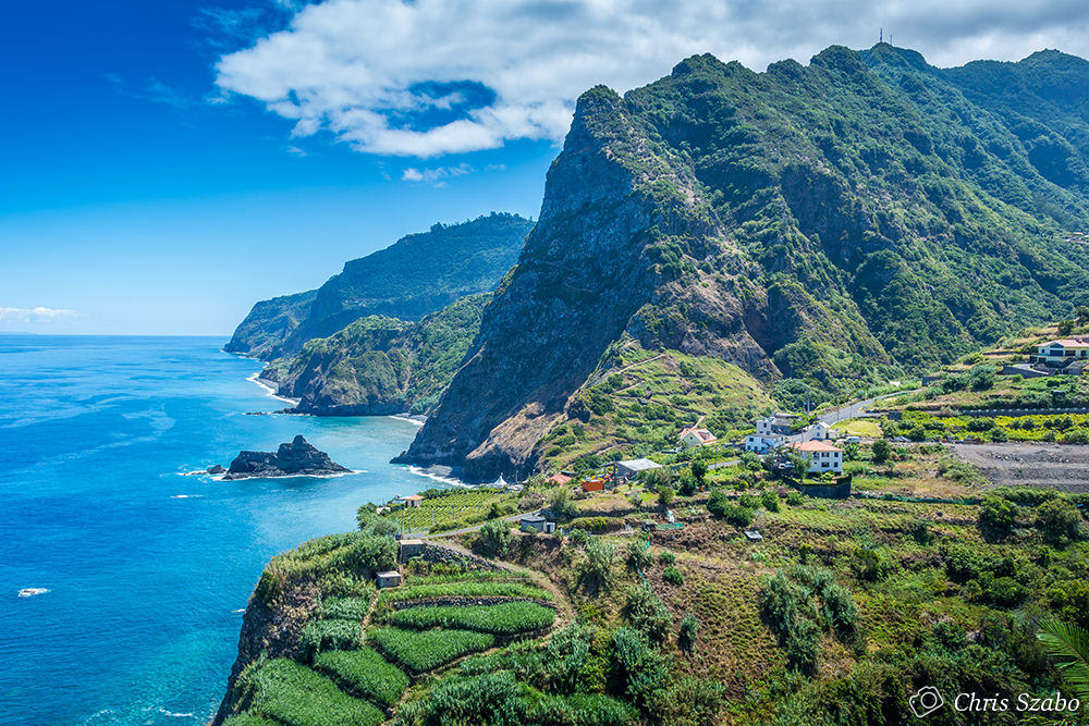
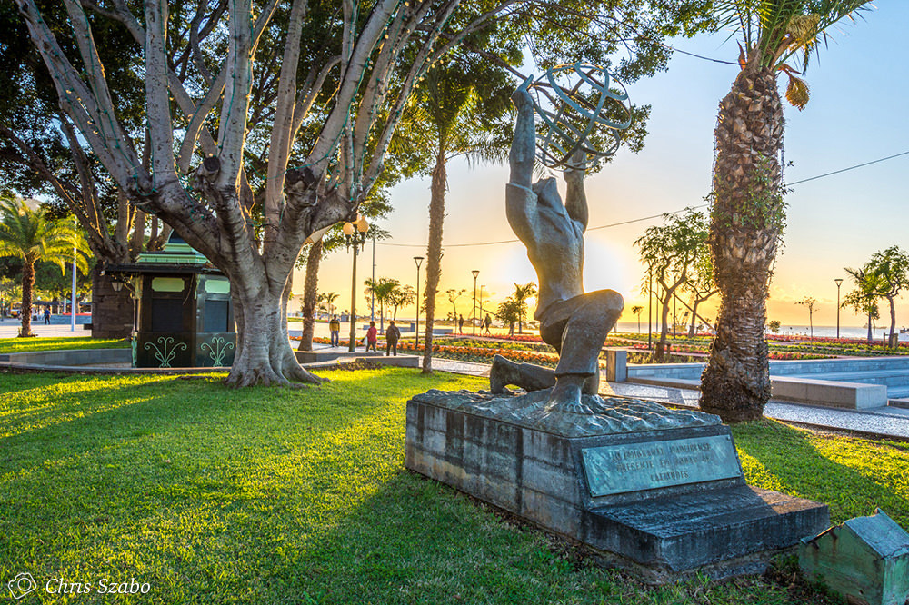
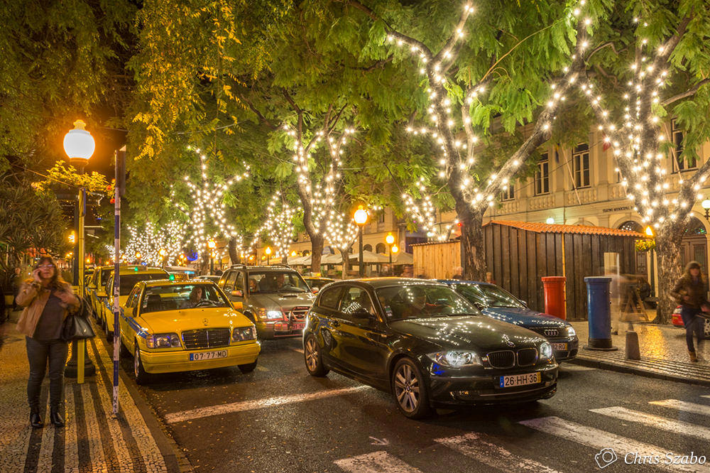
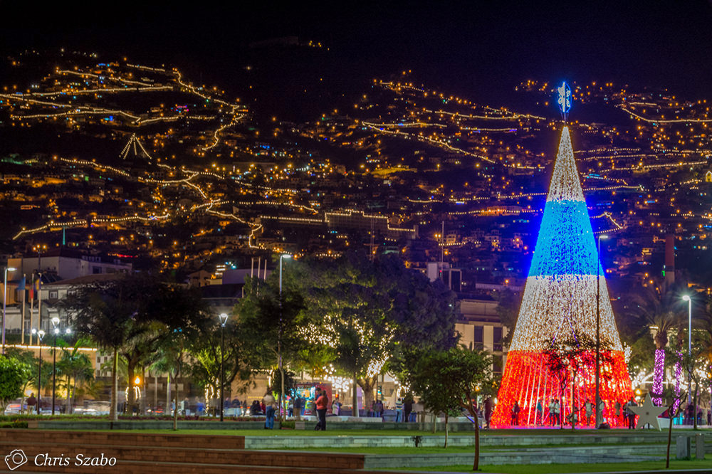
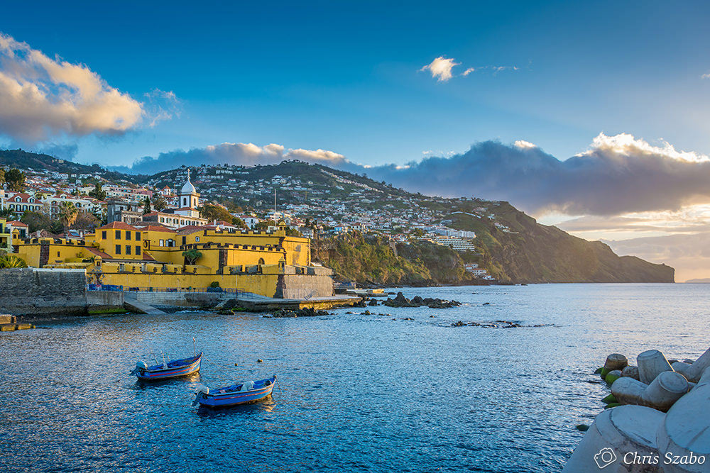
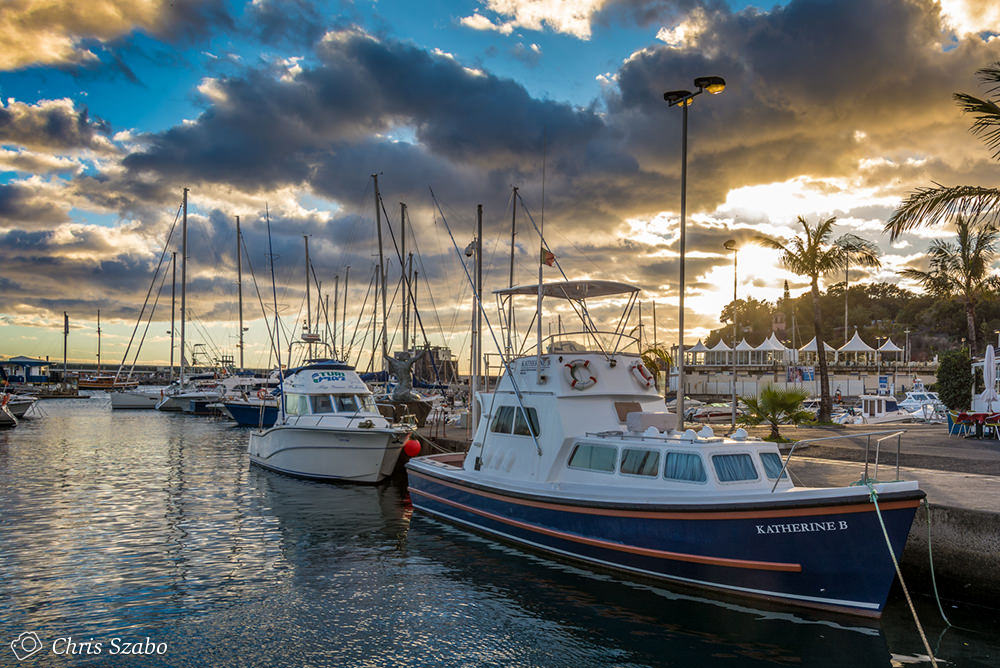
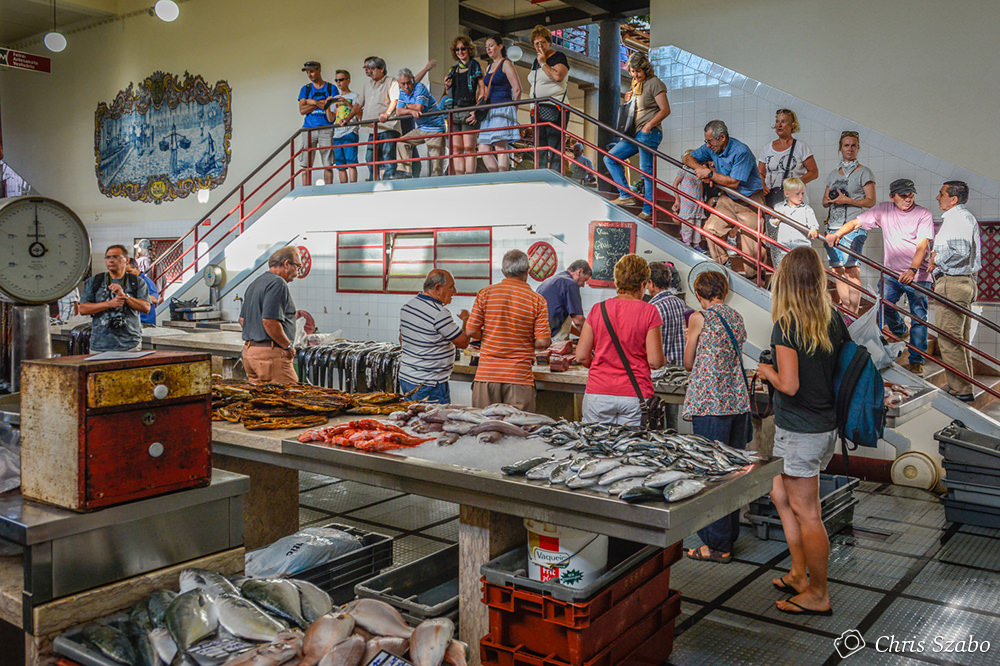
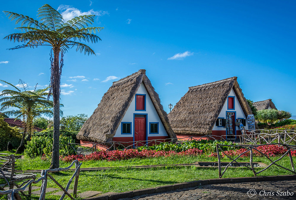
Why Funchal port as destination?
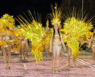
Events
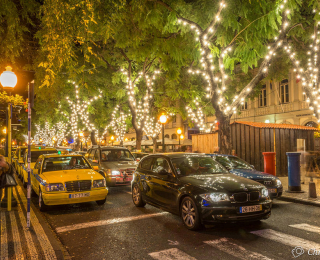
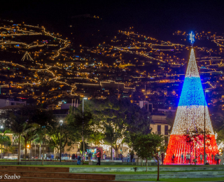
Fireworks (December)
Carnival (February)
Flower Festival (May)
Atlantic Festival (June)
Rally (August)
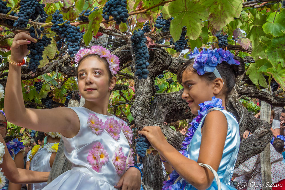
Wine Festival (September)
Colombus Festival (September)
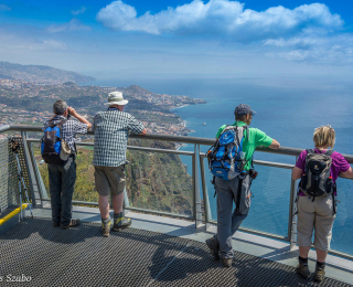
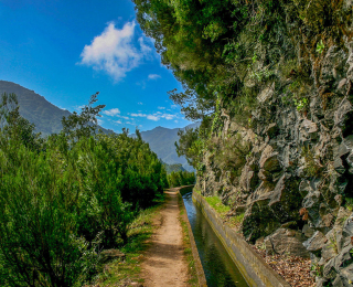
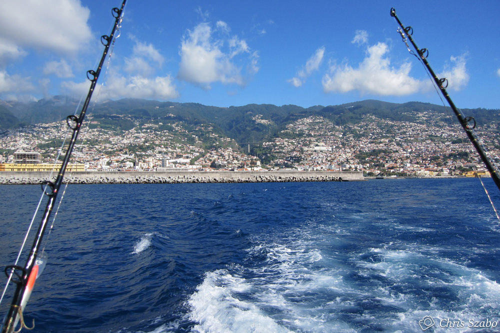
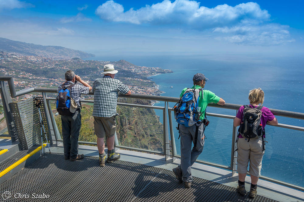
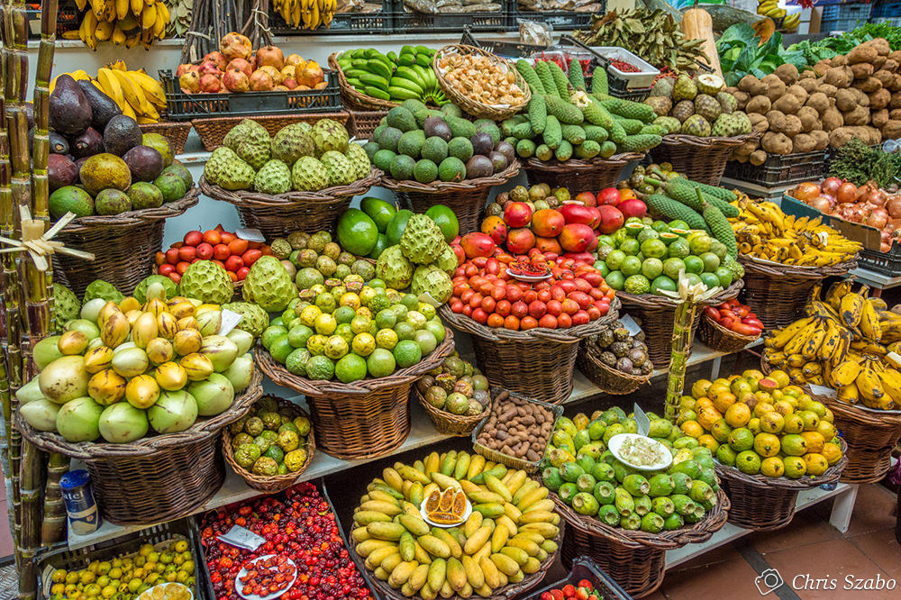
Activities
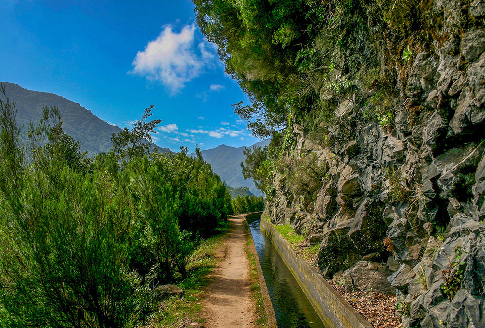
Levadas, Golf, Therapeutic Center, Big Game Fishing, Diving, Water Ski, Surf, Windsurf, Bird Watch, Sailing Trips, 4x4, Balloon, Tobagan Ride, Cable Car

Although it's only 40 kilometres to the north east of Madeira, the Island of Porto Santo provides a complete contrast. Most striking is it's long beach of fine sand which stretches for nine kilometres along the south shore. This island is much flatter than Madeira and was discovered in 1418.
Approximately five kilometres wide by 15 kilometres long, Porto Santo is famous for it's beach and water which is said to have therapeutic value, being affected by mineral deposits.
Port structure:
Geographic position:
Latitude - 33º3'N
Longitude -16º20'W
Maximum draft: - 7,00 mts (Hydrographic zero)
Summer time - GMT+1
Winter time - GMT
Landing area:
Sheltered quays are 200 metres long with a maximum draught of 4 metres.
This dock is for the disembarcation of crew and passengers of ships anchored in the bay.
PORTO SANTO PORT FACILITIES
Main quay side for trade and passengers facing towards the sea E - 10º - S.
The draft and length of the piers are as follows :-
95 metres of mole = 6,00 mts draft
195 metres of mole = 7,00 mts draft
All passenger vessels calling at Porto Santo, arriving from or proceeding to Funchal on the same cruise will benefit with an exceptional exemption of the Tonnage Tax at Porto Santo port.
We can arrange for both shipping and shore excursions.

The Port of Caniçal underwent a major enlargement programme in 2005. Caniçal is situated on the east coast of Madeira, coordinates 32 44.10 N latitude and 016 43.52 W longitude, about 30km from Funchal.
It is the only port in Madeira which can receive containerised cargo, general cargo, solid and liquid bulk cargo. It has two main berthing docks, North and South.
The North pier is 400 metres in length, allowing up to three container ships to berth simultaneously, each having a maximum 120 mts length overall and a maximum 7,00 mts draft.
The South pier is 271 metres in length, being designated for general cargo and roll on/roll off vessels. Two vessels up to 130 metres length overall and with a maximum 11 metres draft can berth at this pier.
This infrastructure has facilities such as garbage collection, fresh water supply and bunkers.


